Amersfoort / Main characteristics
Amersfoort is situated in the centre of The Netherlands. Amersfoort originated around the banks of the river Eem (names Amer in the old days). Three types of landscape are surrounding the city. In the West and South sand dunes and pine forests on the glacial geo-formation. In the East typical farming landscape. On the Northern side of the city the flat, open, meadow landscape of a former polder.
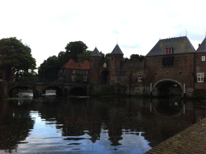
Amersfoort has a historic city centre with monuments that go back to 1300. After a flourishing period in the late Middle ages the city stayed quite stable in a rural area. From the end of the 19th century the city started growing, due to the connection to the first railway-system in The Netherlands. On the glacial slopes a green suburb develops with rich houses and monuments. On the other side of the railroad, small housing was established for the railroad workers. After World War II, the city grew further for 2 decades. In1980, about. 80.000 people were living in Amersfoort. The city was then selected by the national government as a ‘city for growth’ within national urban planning strategy. Rapidly the city expanded in direction North with famous modern architecture and city planning to 149.000 at this moment providing lodging opportunities at the boarder of the dense and expensive triangle Amsterdam, Rotterdam and Utrecht (cities that are within a distance of respectively 50km, 80km and 20km). The current population profile of Amersfoort is rather young, educated with middle to high incomes. The town planning is to grow to 160.000 inhabitants by the year 2020